The American Southwest
There are sounds and stories here that remind us of who we are and where we came from. Listen for them as you hike a trail or walk along the river. Perhaps they are there in the sounds of the wind or the rush of the water.
-Modern Paiute Indian on Zion National Park
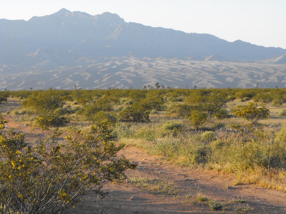
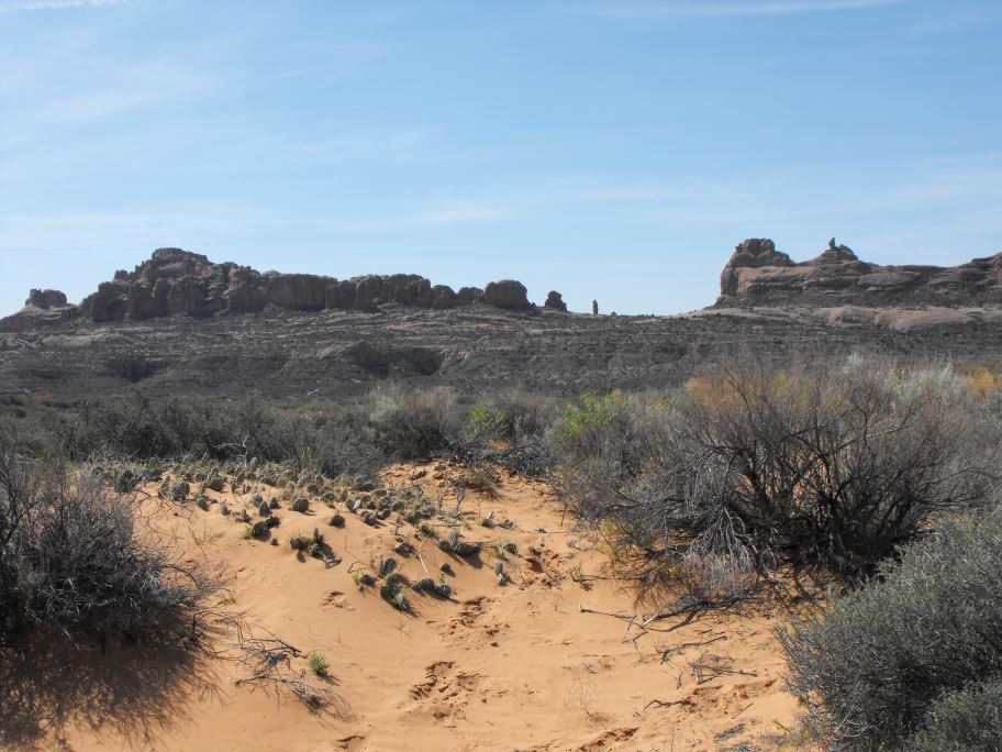
Basin and Range area in Nevada on the road to Zion National Park.
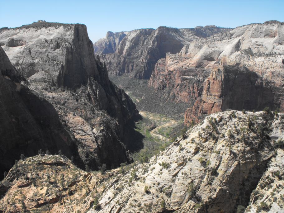
Observation Point at Zion National Park. About a 4-5 hour hike.
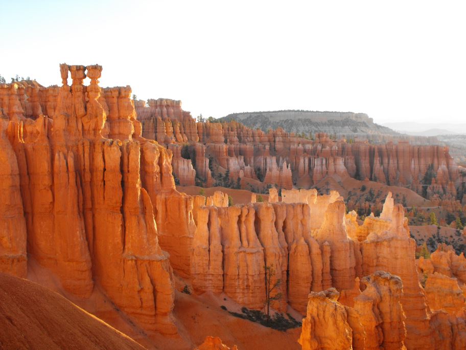
Hoodoos at Bryce Canyon
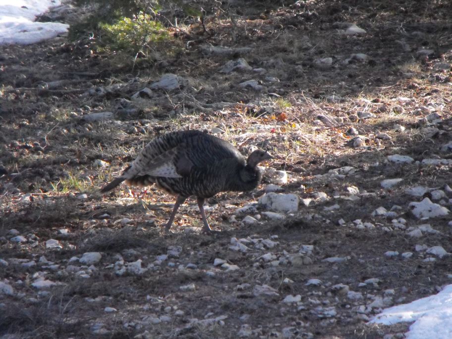
A turkey at Bryce Canyon
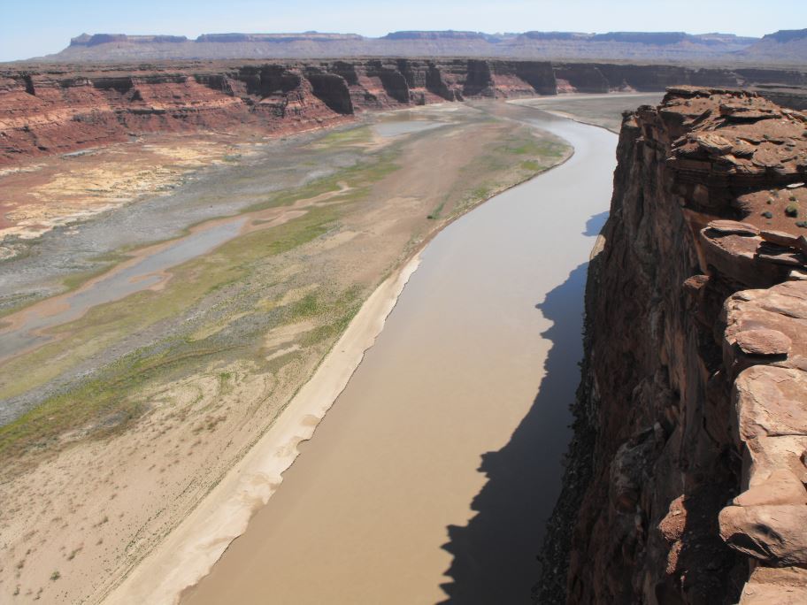
Glen Canyon, roughly the geographical starting point of the grand canyon. The cliffside here is 1000 foot sheer drop down to the river.
The scenic byways 95 and 12 in Utah are probably the prettiest roads I've ever driven on. The landscape changes completely every 2 hours, from canyonlands to mountain ranges to areas that look like African savannah to places that look like the surface of the moon. Much nicer than driving on the interstate highways. You can't see it here but there was a flock of herons in the water below.
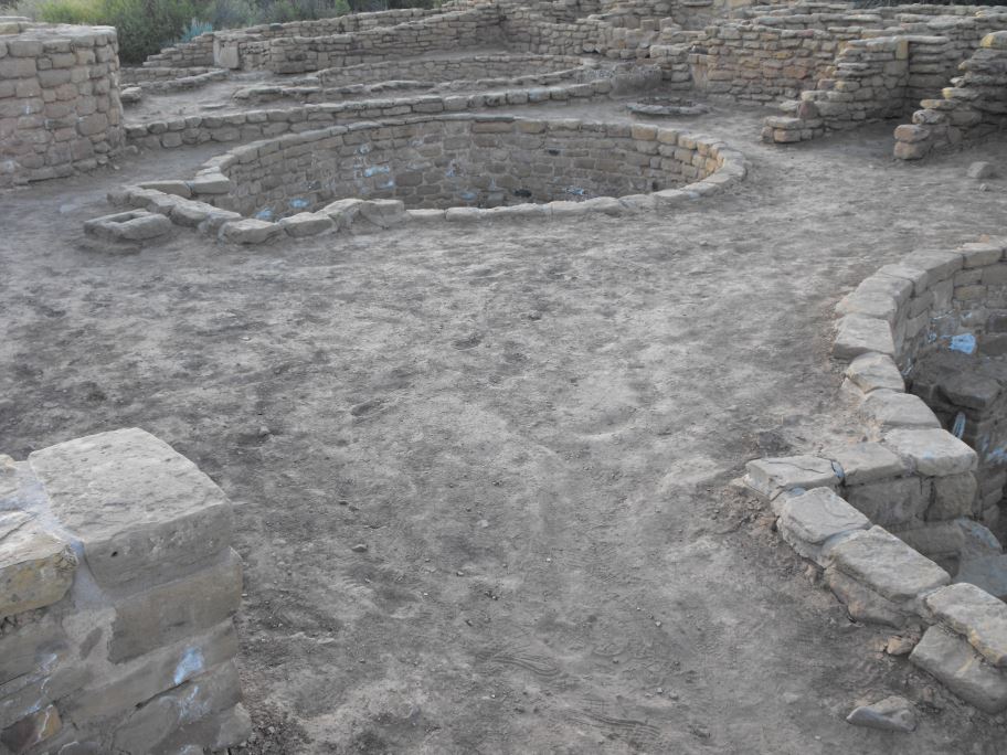
Ruins of a 1000-year-old Pueblo city in Mesa Verde National Park, Colorado. The circular chamber in the ground is called a Kiva, where family and friends would gather around a fire. This architectural feature is present in most of the ruins in this area.
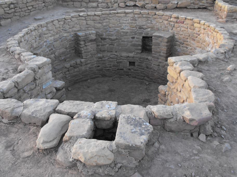
The Pueblo peoples occupied this region for thousands of years. These ruins were built from around 800-1300 AD, and the people here lived by growing corn and various other crops. This and other Pueblo ruins were abandoned by 1300, around 200 years before Columbus reached America. It is not known why they left. Perhaps it was due to a drought in the area.
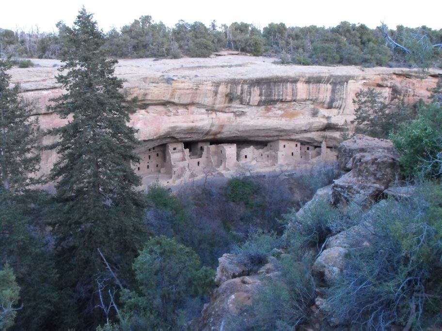
Cliff Palace, the largest cliff dwelling in North America.
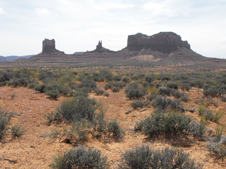
Monument Valley, the setting of countless Western films.
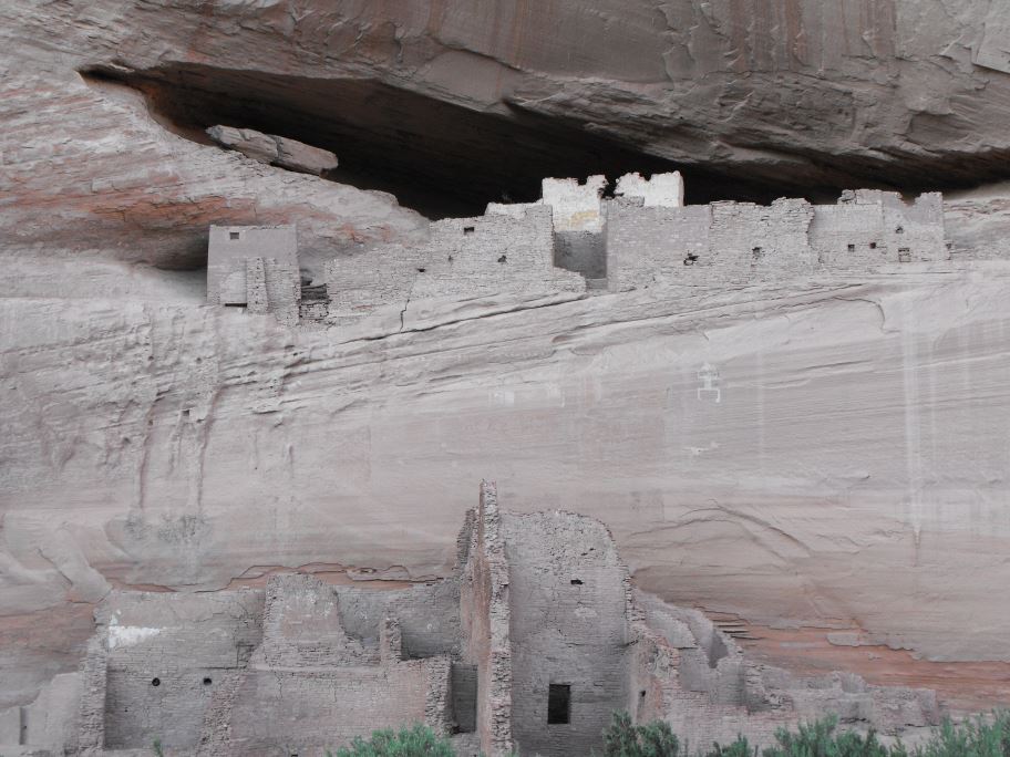
Canyon de Chelly. This is probably my favorite place I visited. The canyon is on a Navajo reservation in Arizona, and over the course of about 50 kilometres there are a number of cliff dwellings like this. Today the canyon is home to modern Navajo farmers, so most of the ruins are off limits, but you can walk right up to this one. When I went the only other people visiting the ruins were Navajo, perhaps in respect of their ancestors who inhabited these ruins 800 years ago. It was easy to see why they chose to settle in this canyon.
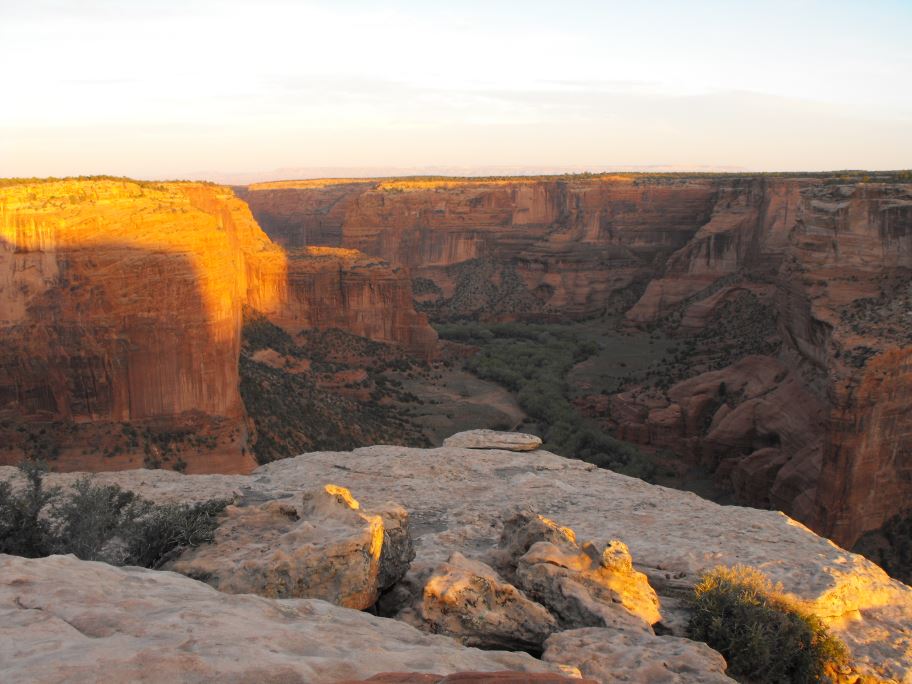
Whereas every other area I visited on my trip was crowded with other people, I was the only person around when I visited this area of the Canyon de Chelly. As a result it was much more relaxing than anywhere else I visited.

Spider rock overlook.
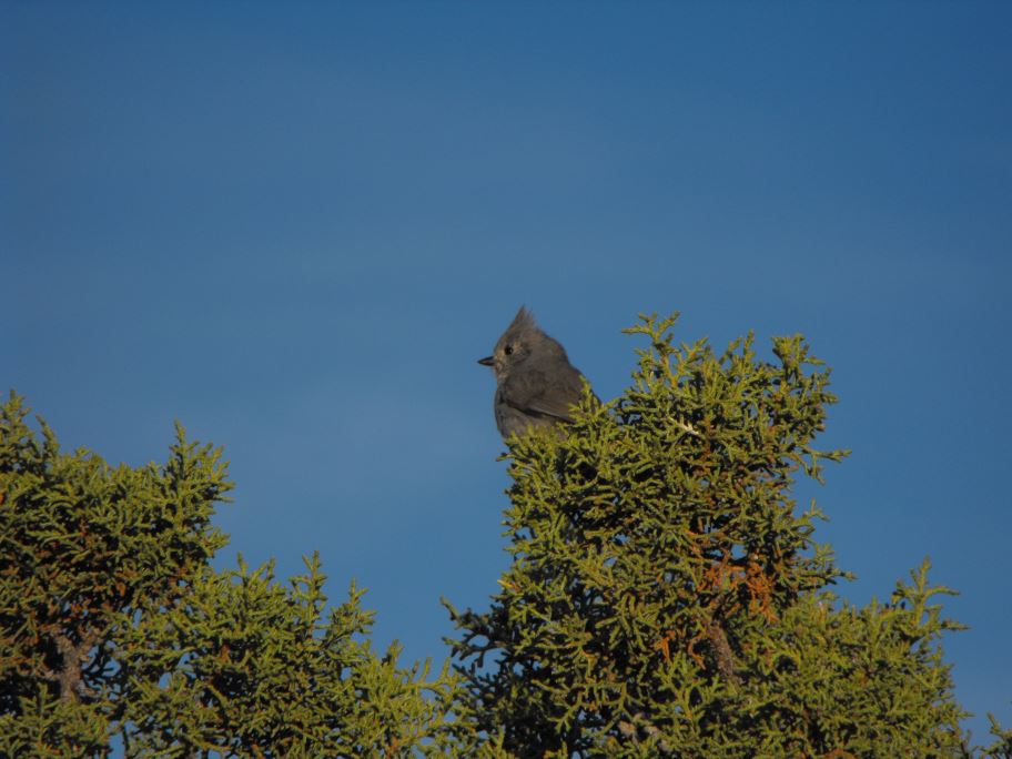
The only sound I could hear was the wind and the chirping of this titmouse.
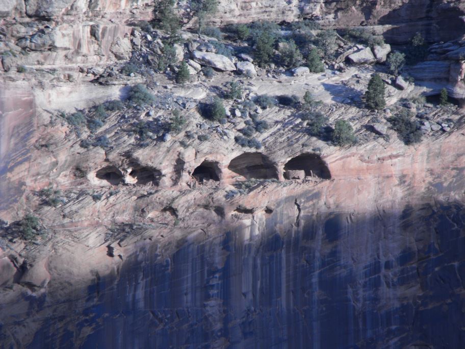
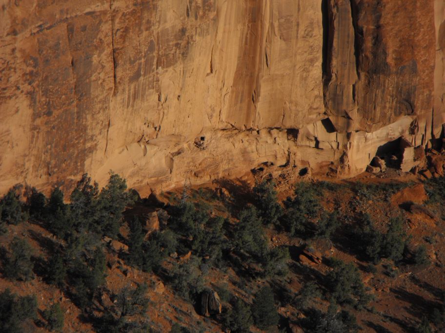
More cliff dwellings. How the ancient Navajo managed to live in these places is beyond me.
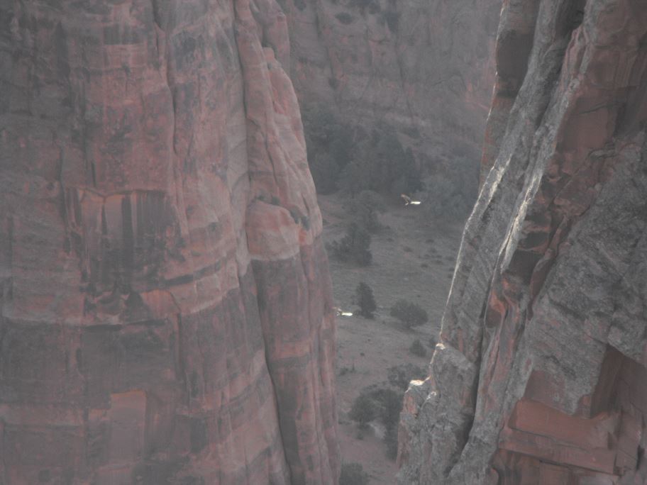
Birds soaring in the canyon below.
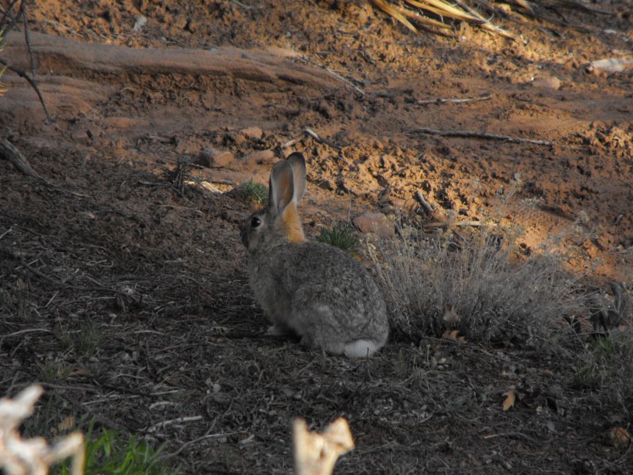
A rabbit.
More ruins.
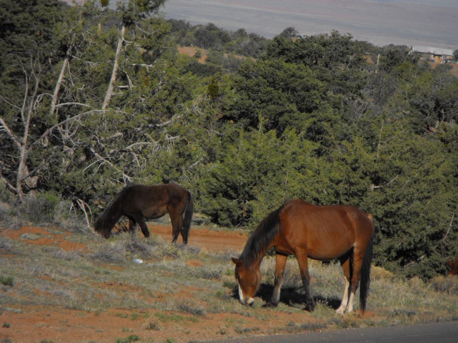
Horses grazing on the side of the road. The horses in this area are semi-wild, and are free to come and go as they please. I accidentally startled a group of mares and one of the stallions made a charge at me. I told him I was sorry and he backed off, eyeing me suspiciously.
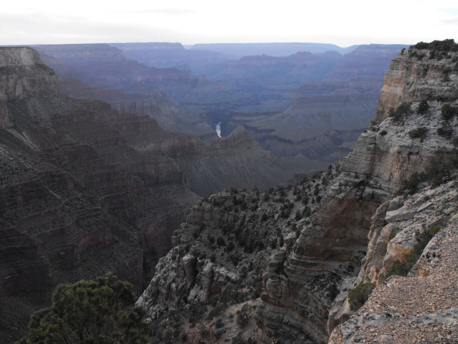
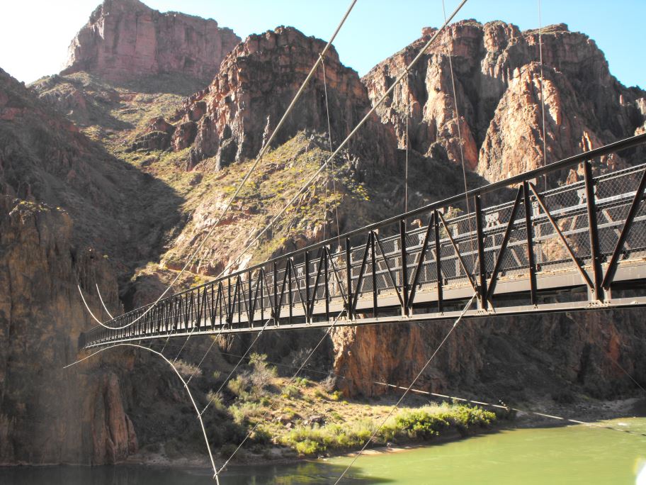
The grand canyon. The grand canyon is a very popular tourist attraction, with campgrounds completely booked even in April. The only way to get away from the crowds of people here is to hike into the canyon in the early morning. The day I hiked the grand canyon I woke up at 5am and was on the trail by 6.
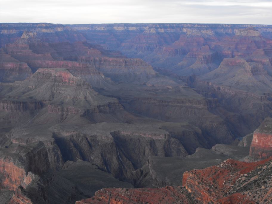
The elevation from the rim of the river in this canyon is about 5000 feet. I hiked down on the South Kaibab trail and up along the Bright Angel trail.
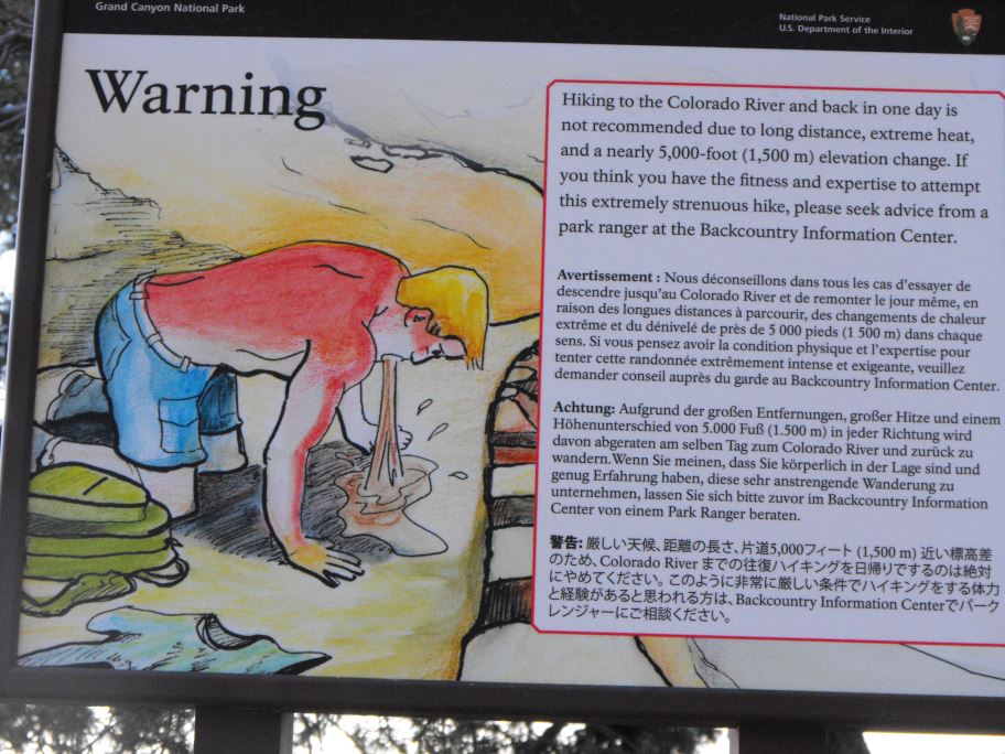
A sign warning me not to go on the hike I was about to do. It has a point. During the summer temperatures in the inner canyon can reach up to 50 degrees, so it would be suicidal to attempt this hike without water and some preparation beforehand. Luckily for me the canyon doesn't get quite that hot this time of year.
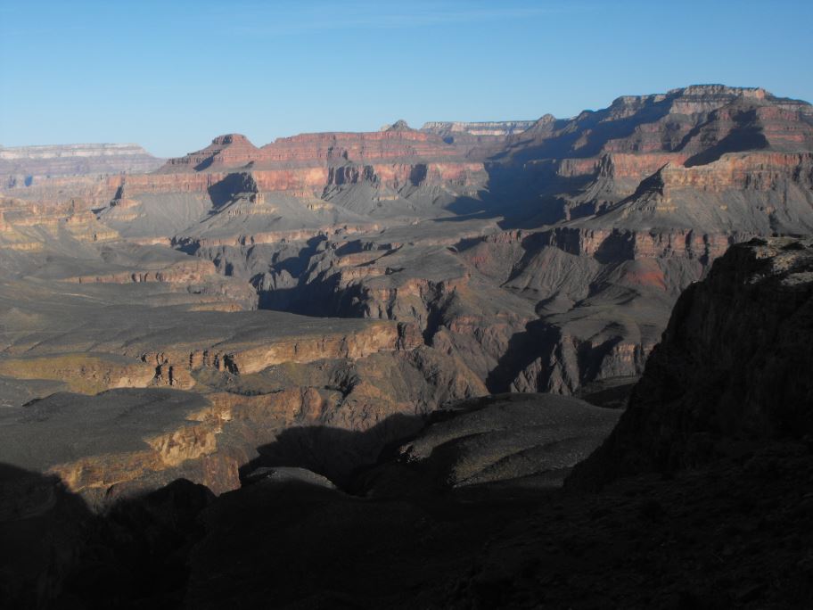
On the way down I only saw a handful of other people, and the views were spectacular.
Pictures don't really capture the grandeur of this canyon.
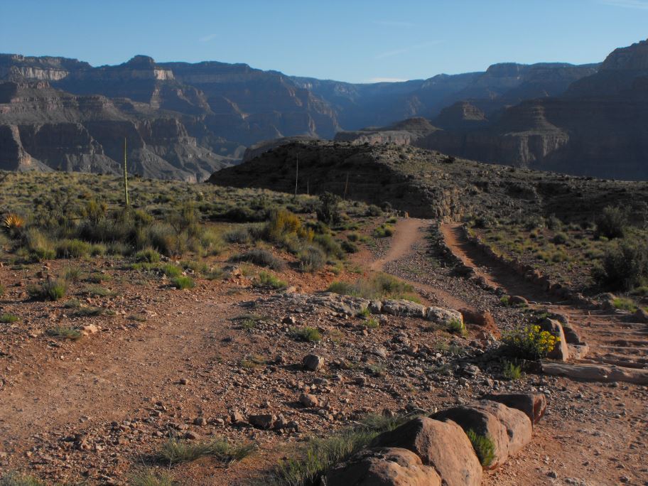
As you descend into the canyon the ecosystem quickly changes, from temperate forest at the top, to dry desert at the bottom. The canyon walls act like an oven.
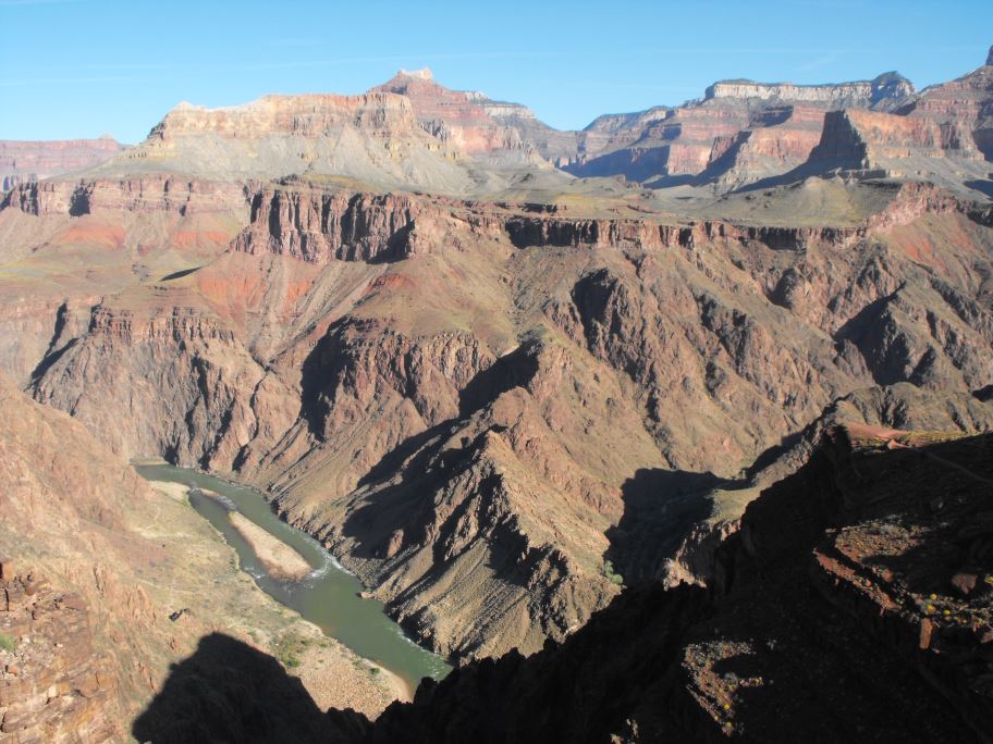
The river came into sight after about two hours of hiking.

A grey fox. This cute little guy stopped and stared at me for a few minutes. I heard a ground squirrel in the distance making a racket, presumably because of this fox.
Getting closer.
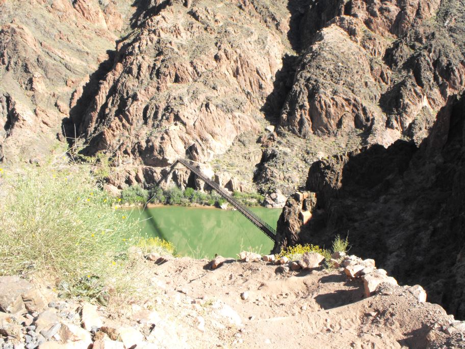
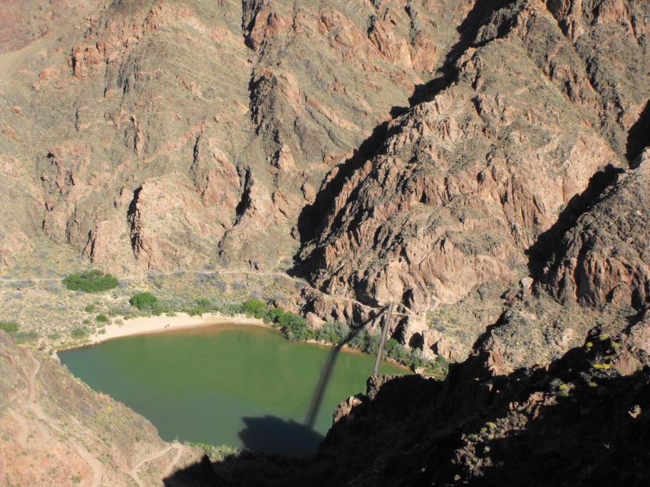
Almost there.
I reached the bottom after around 3 hours of hiking, and at this point the temperature was about 30 degrees. Knowing the hike back up would be much more strenuous, I conserved most of my energy and water for the second half of the hike.
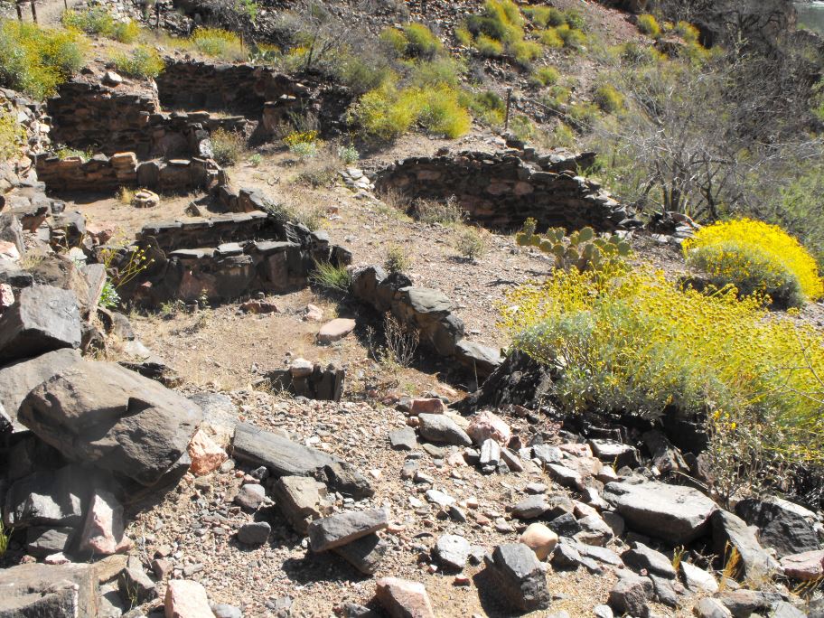
Ruins at the bottom of the canyon. The people who lived here must have had a difficult time getting by, especially in the summer.
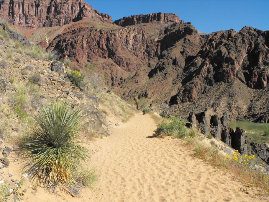
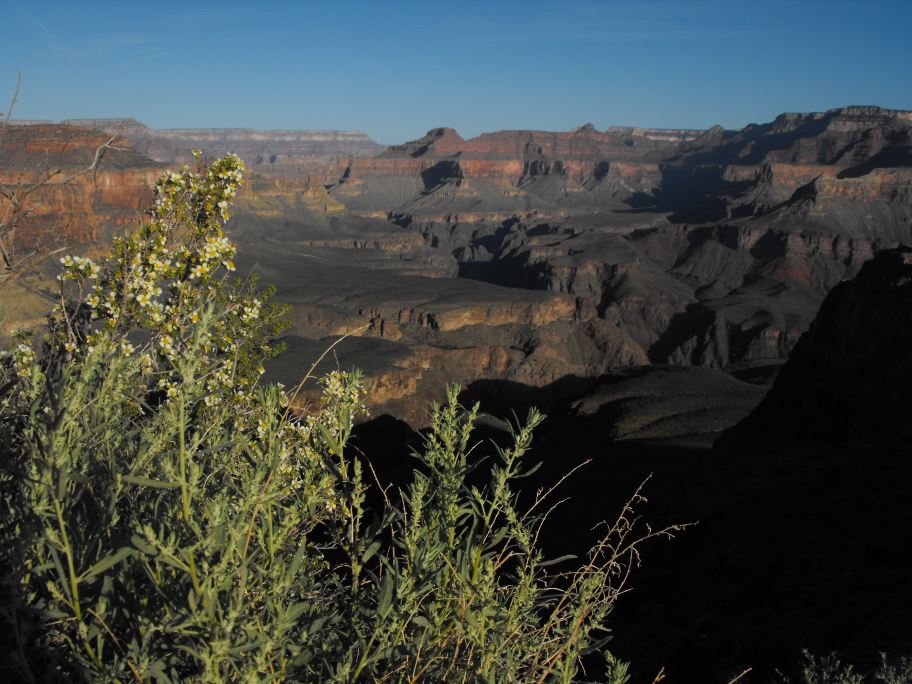
Desert flora at the bottom of the canyon.
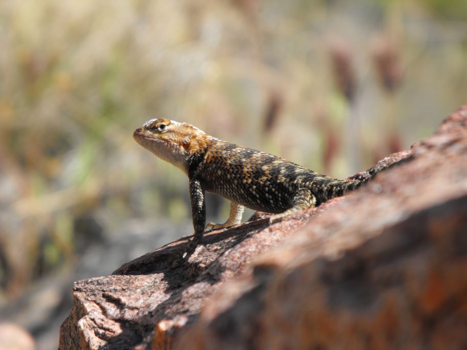
There are a lot of lizards at the bottom. Snakes are common as well, but luckily I didn't run into any of those.
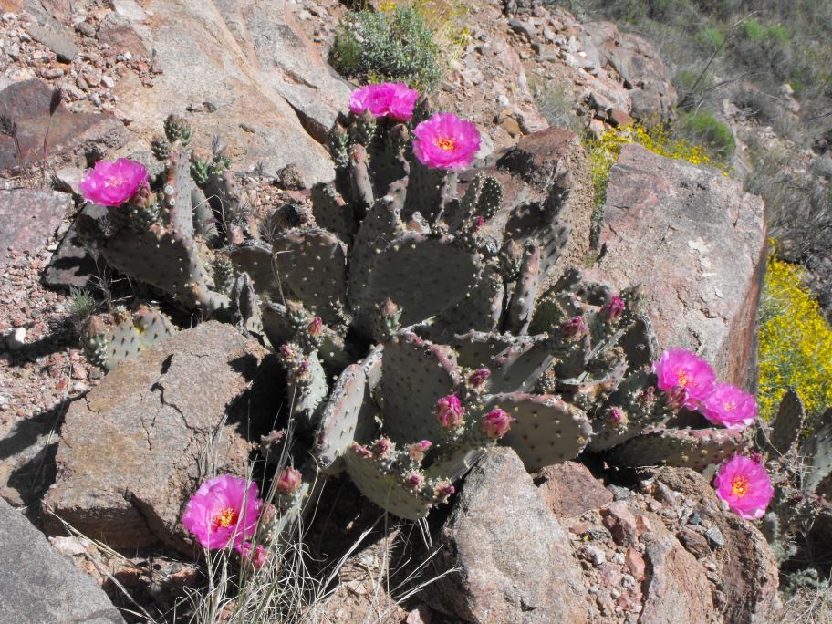
Prickly pear cactus in bloom.
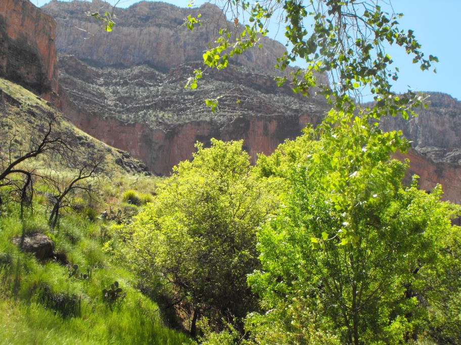
Indian gardens, a relatively cool and shaded part of the trail. The last 3 miles of this hike were the most difficult, so it was nice to have a bit of shade.
The hike back up to the top took about 4 and a half hours. All told I hiked from the rim to the river and back in about 7 and a half hours, including breaks. By around 11am the trail started getting pretty crowded, so I was lucky I started early in the morning.